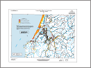
 IMS-21, Tsunami hazard map of the Coos Bay area, Coos County, Oregon, by George R. Priest, Jonathon C. Allan, Edward P. Myers III, and Antonio M. Baptista, 2002, 20 p., 1:48,000. Note: Superseded by more recent modeling in Tsunami Inundation Map (TIM) series maps.