[Go back] | Publications Center | DOGAMI Home
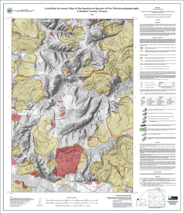
IMS-55, Landslide inventory maps of the southern half of the Pittsburg quadrangle, Columbia County, Oregon, by William J. Burns, Katherine A. Mickelson, and Evan C. Saint-Pierre
(SW and SE quarter-quadrangle map plates of the Pittsburg 7.5' USGS quadrangle; 1:8,000 scale)
Download publication .zip file 232 MB)
Publication contents:
Along with a readme file, the publication CD contains 1) IMS-55 GIS data, metadata, and map views of the GIS data, 2) DOGAMI Special Paper 42, and 3) two landslide factsheets.
1. IMS-55 folder:
2. SP-42 folder: compressed file containing DOGAMI Special Paper 42, Protocol for Inventory Mapping of Landslide Deposits from Light Detection and Ranging (Lidar) Imagery, by William J. Burns and Ian P. Madin -- included to provide background on how the landslide inventory data were prepared. The SP-42 file set consists of:
3. DOGAMI-fact-sheets folder:
- Understanding Landslide Deposit Maps
- Landslide Hazards in Oregon
IMS-55 map plate previews:
